


Software
Project Map

Once you or the on-site driller/engineer have entered the co-ordinates via What3Words or manually entered Grid Northing/Easting via the Borehole Manager, each position will be plotted onto the Project Map. Each type of Hole has it's own colour so each can be easily identified.
When you click on each flag on the Project Map, it will open a 'bubble' and show the HoleID, Hole Type & Depth of the hole.
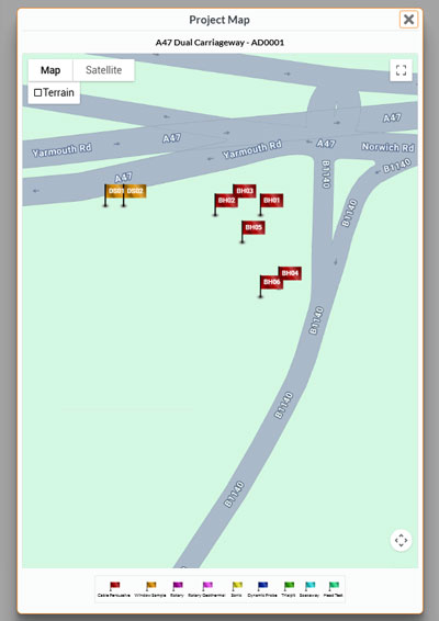
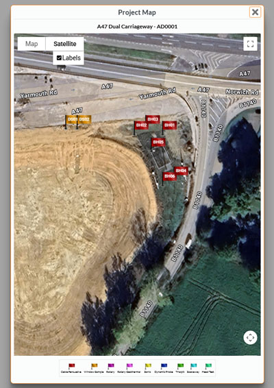
See what's happening on-site at a glance with the Drillit Logs Project Map
Start Your FREE 7-Day Trial